Every skill mapped
Geography on Aristotle is 200 skills across 10 units, each linked to the skills it builds on.
Geography
Pioneered by Stanford AI researchers and learning scientists, Aristotle is the world's first voice-based AI tutor. A full Geography course, mapped skill by skill.
Trusted by families at









Features
Talk things through, work side by side, and come back next time to a tutor who remembers where you left off.
Ask questions out loud, hear explanations in Aristotle’s voice, and interrupt whenever you need to.
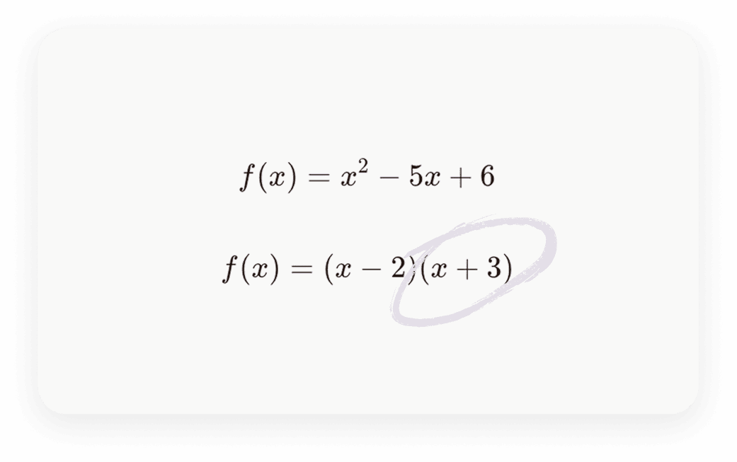
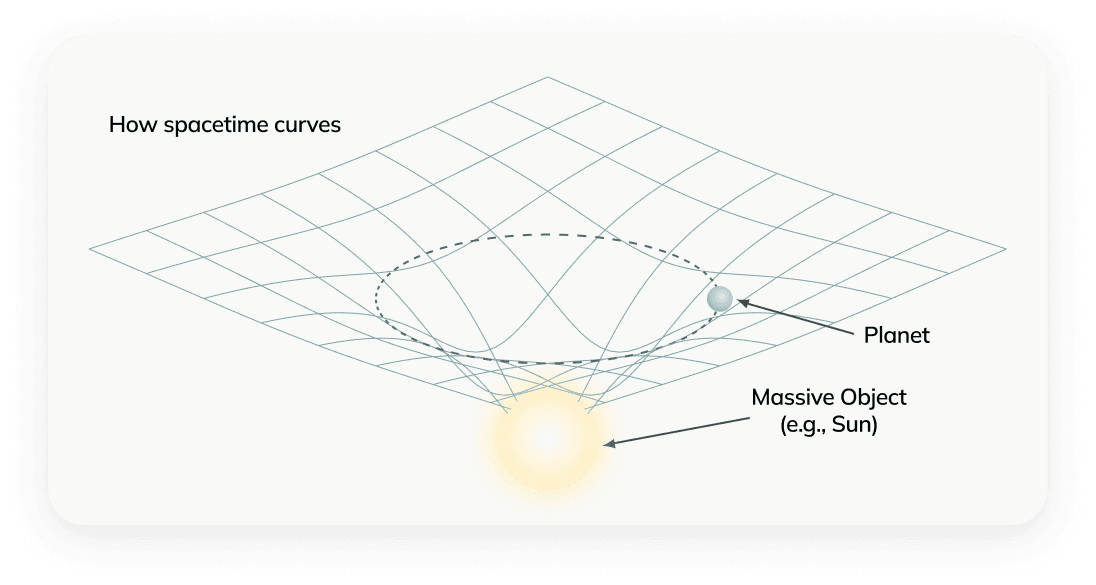
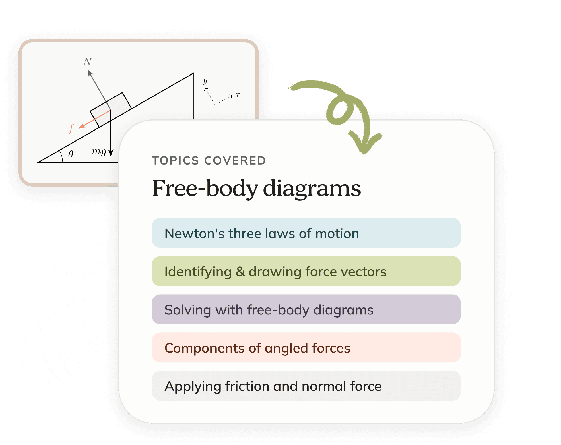
Aristotle draws steps, diagrams, and images to help you learn visually.
Get practice problems tailored to the exact topics you’re struggling with.
From middle-school math to AP exams to SAT/ACT prep. We also build custom plans matched to state standards and specific courses.
Revisit session summaries, session whiteboards, and uploads in one place.
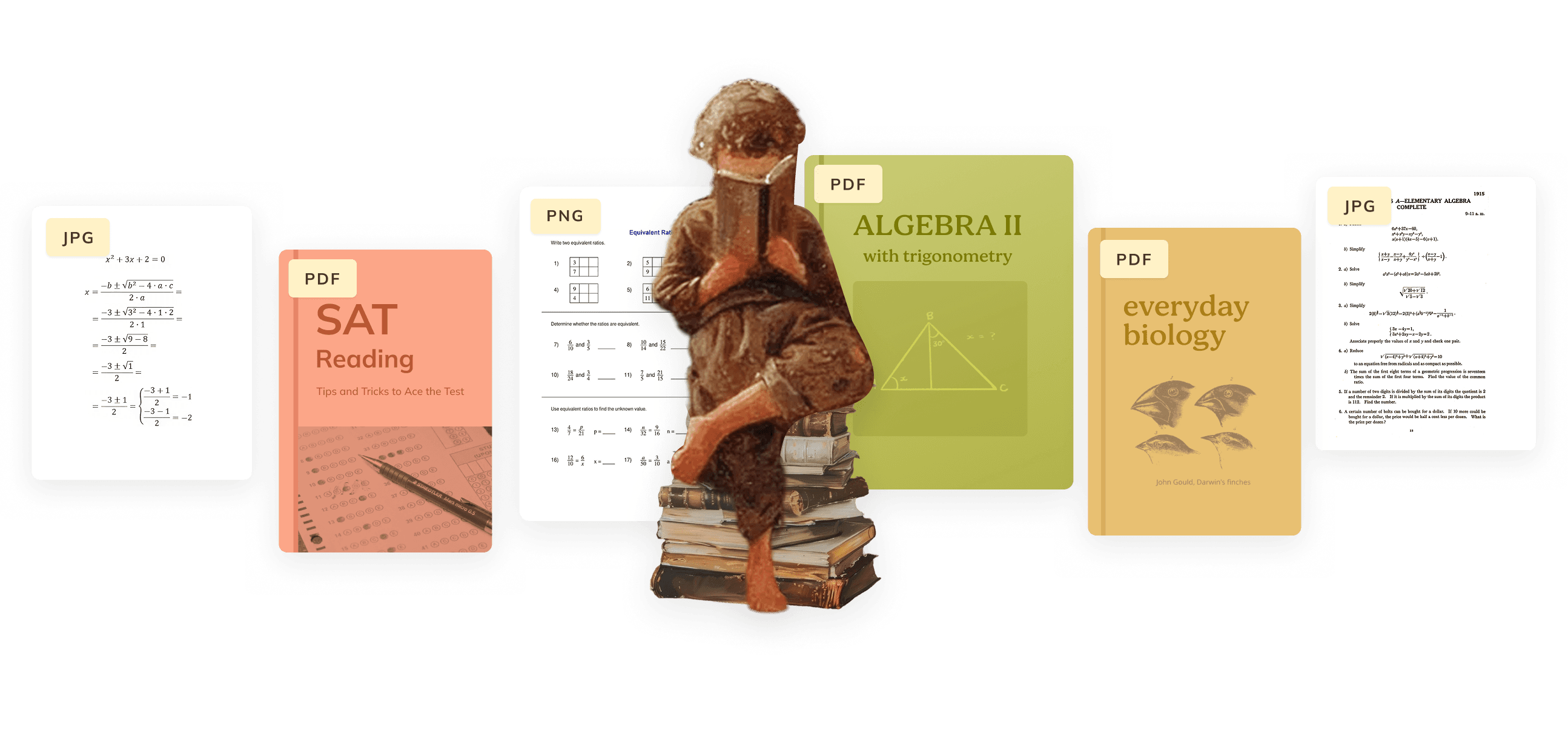
Aristotle can read and navigate any PDFs and images with the learner. That includes textbooks with hundreds of pages!
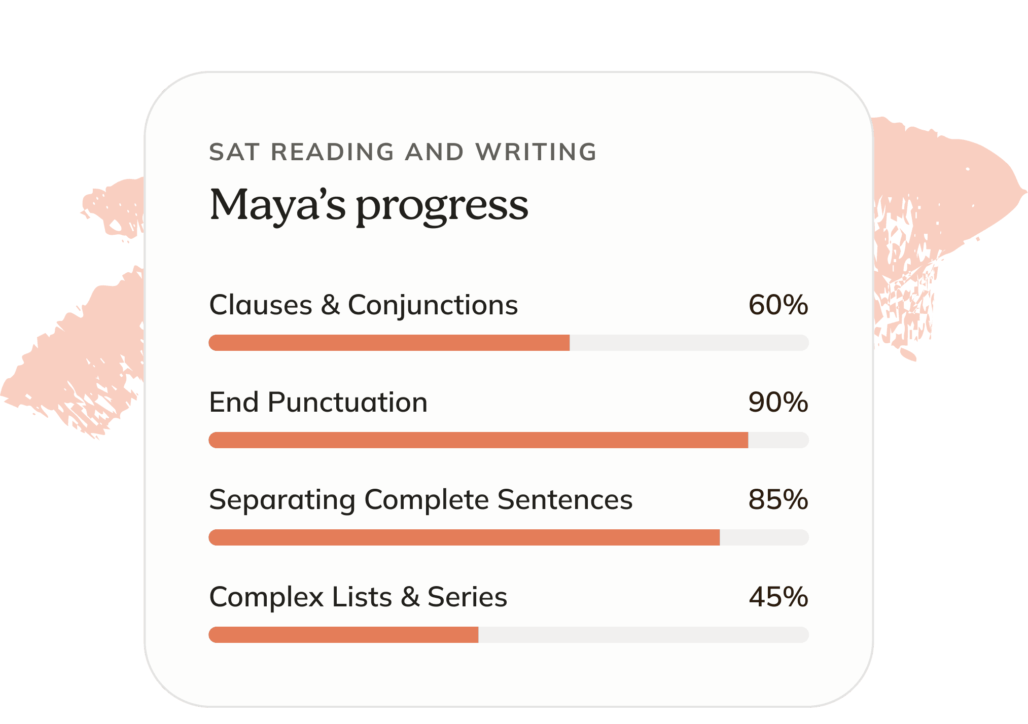
We break all subjects down into granular skills, then track mistakes and mastery on each one. Parents can see the whole picture at a glance.
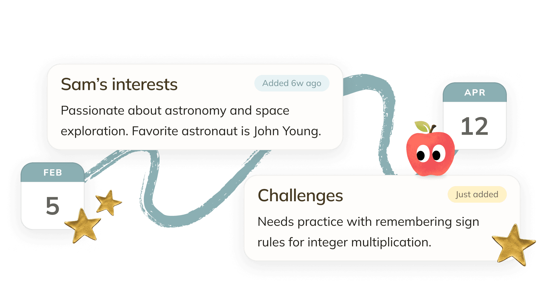
Aristotle remembers every session: what you’ve covered, where you got stuck, how you like things explained. It picks up right where you left off.
The curriculum
Aristotle is designed to always know what to teach at exactly the right time.
Sample curriculum
* Click a topic to see the skills inside
Finding Your Way Around the World
Why Places Have Different Climates
How Landscapes Form
Living Landscapes and Environmental Change
Journeys Through the World’s Regions
Countries, Capitals, and Flags
States, Provinces, and Territories
World Land and Water Features
Culture, Nature, and Landmarks
Geographic Identification and Clues
Geography tutoring curriculum200 skills across 10 units
Finding Your Way Around the World
Build the practical map skills that make every later place easier to remember. Topics: The Globe and Geographic Coordinates, Scale, Relief, and Map Choices.
Why Places Have Different Climates
Connect the Sun, winds, oceans, and mountains to recognizable weather and climate patterns. Topics: Seasons, Weather, and Air Movement, Reading Climate in the Landscape.
How Landscapes Form
Learn to explain the mountains, rivers, coasts, and ice that appear throughout the atlas. Topics: Plates, Volcanoes, and Mountains, Rivers, Lakes, and Coasts, Glaciers, Deserts, and Hazards.
Living Landscapes and Environmental Change
Connect climate, soils, life, and people in real places. Topics: Forests, Grasslands, Tundra, and Reefs, Environmental Questions With a Location.
Journeys Through the World’s Regions
Connect memorable places to the landscapes and ways of life around them. Topics: The Americas: Mountains, Basins, and Cities, Europe and Northern Eurasia, Africa: Sahara, Sahel, Forests, Highlands, and Coasts, Asia: Deserts, Monsoons, Highlands, and Archipelagos, Oceania and the Polar Regions.
Countries, Capitals, and Flags
Political map knowledge by region: country locations, capitals, national flags, and major cities. Topics: North America and the Caribbean, South America, Europe, North Africa and Southwest Asia, West and Central Africa, East and Southern Africa, Central and South Asia, East Asia, Southeast Asia, Oceania.
States, Provinces, and Territories
Subnational maps, administrative centers, and relationships among political territories. Topics: U.S. States and Capitals, U.S. Territories, Districts, and State Flags, Canadian Provinces and Territories, Australian States and Territories, Asian Administrative Divisions, European Regions and Constituent Countries, Latin American and African Divisions, Borders and Political Relationships, Capital Roles and Changing Names, Flag Patterns and Symbols.
World Land and Water Features
Named physical features, their locations, and the geographic connections that identify them. Topics: Rivers and Drainage Networks, Lakes and Inland Waters, Oceans, Seas, and Straits, Mountains, Peaks, and Passes, Deserts, Plains, and Basins, Islands and Coastal Landforms, Polar Regions and Ice, Geographic Extremes and Comparisons.
Culture, Nature, and Landmarks
Place-linked knowledge about people, heritage, habitats, economies, transport, and historical change. Topics: Peoples, Languages, and Religions, Landmarks and Heritage Sites, Wildlife and Protected Places, Crops, Resources, and Industry, Routes and Transport Hubs, Historic Places and Routes, Organizations and Current Events.
Geographic Identification and Clues
Combining maps, images, measurements, and verbal clues to identify places accurately. Topics: Place Clues and Answer Precision, Visual Location Clues, Earth’s Dimensions.
My son told me yesterday that we should cancel his human tutor, because Aristotle is doing a better job. The human tutor was $250/hour.

A few things you might wonder before getting started.
Aristotle's Geography course tracks 200 skills across 10 units, including Finding Your Way Around the World, Why Places Have Different Climates, and How Landscapes Form. Every skill is linked to the skills it builds on, so the tutor always knows which parts of Geography your child has mastered and what to teach next.
Check out our most recent blog posts.
This could be you
For homework, supporting your child, or anything you’ve always wanted to know more about, Aristotle makes it easy for anyone to learn out loud.